The world’s largest community of unfiltered ADS-B/Mode S/MLAT feeders, providing enthusiasts, researchers, and journalists access to the globe’s most extensive flight data for unprecedented flight monitoring.
Agroecology is an integrative approach to agriculture that combines ecological principles with social equity to create sustainable and resilient food systems. It emphasizes working with nature rather than against it, promoting biodiversity, soil health, and ecosystem services while reducing dependence on synthetic inputs.
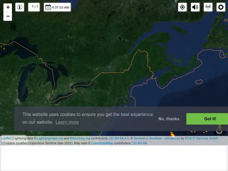
Blitzortung.org provides lightning and thunderstorm information in real-time on maps for USA, United Kingdom, Australia, new Zealand, Europa, Africa, Asia and other Countries.
Cronobook is a website made with lots of love which will let us to take a trip to the past and see how our streets, squares, facades, harbors, river beds, roads, old roads and other landscapes were like.
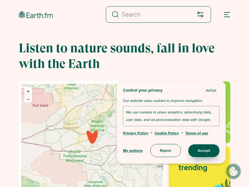
Earth.fm is a completely free streaming service of 1000+ nature sounds from around the world, offering natural soundscapes and guided meditations for people who wish to listen to nature, relax, and become more connected.
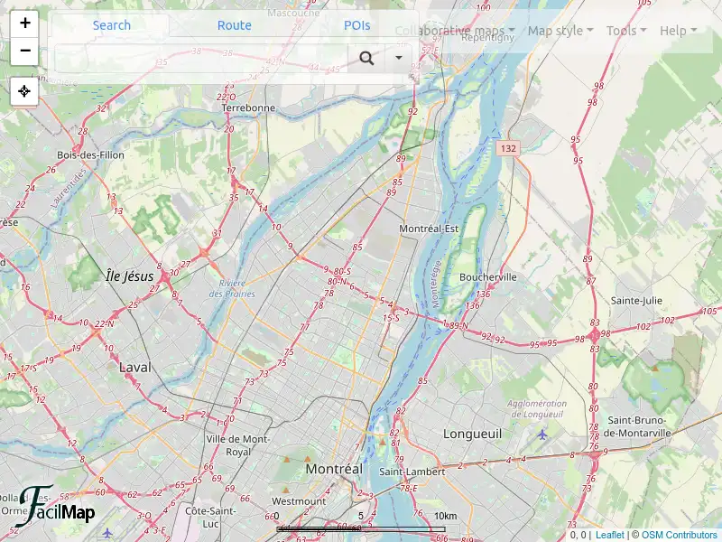
FacilMap is a privacy-friendly, open-source versatile online map that combines different services based on OpenStreetMap and makes it easy to find places, plan trips and add markers, lines and routes to custom maps with live collaboration.
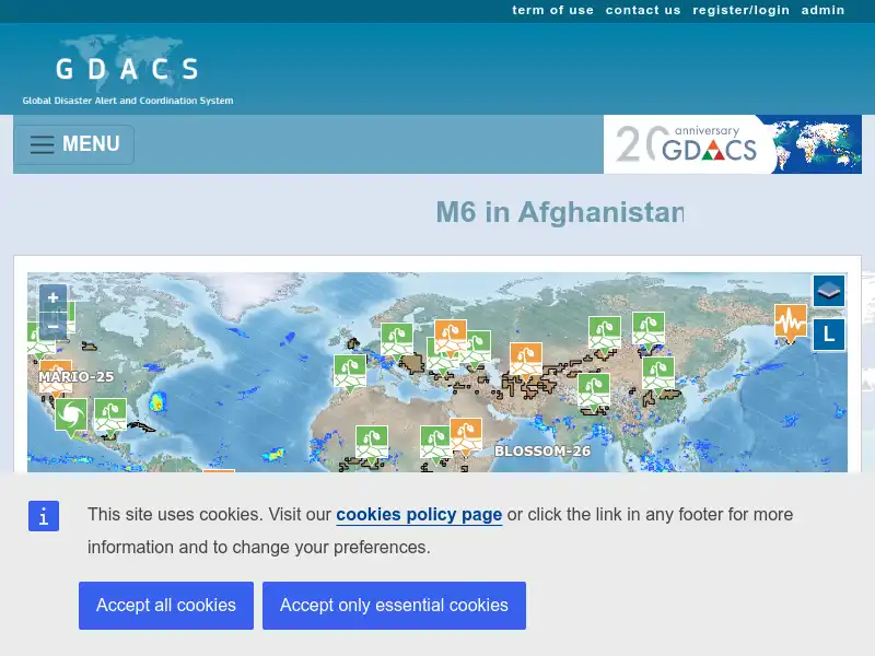
Global Disaster Alert and Coordination System (GDACS) is a cooperation framework between the United Nations and the European Commission. It includes disaster managers and disaster information systems worldwide and aims at filling the information and coordination gaps in the first phase after major disasters.
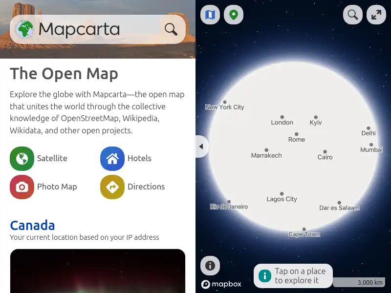
Explore the globe with Mapcarta — the open map that unites the world through the collective knowledge of OpenStreetMap, Wikipedia, Wikidata, and other open projects.
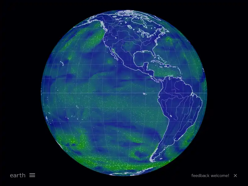
Visually explore the past and the present of this dynamic planet from a satellite's perspective. Supports time-critical application areas such as wildfire management, air quality measurements, and weather forecasting. Data is generally available within three hours of observation.
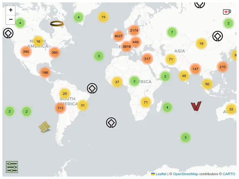
This is a crowd-sourced map of fascinating places to visit around the world - science museums, observatories, maker spaces, research facilities, and other spots that’ll scratch your curiosity itch.
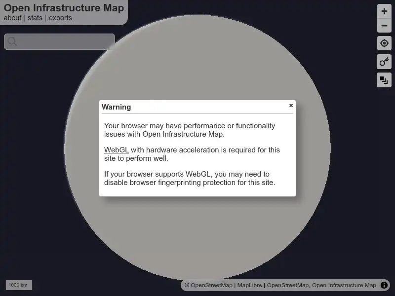
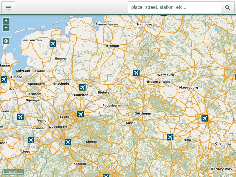
Open Infrastructure Map is a view of the world's infrastructure mapped in the OpenStreetMap database. This data isn't exposed on the default OSM map, so I built Open Infrastructure Map to visualise it.
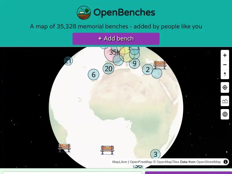
There are blue plaques to commemorate the famous and influential figures of the past. For everyone else, there are memorial benches. A quiet reminder of the people gone but not forgotten. A spot to rest your weary legs and give silent thanks to “Alice – who loved this park”.
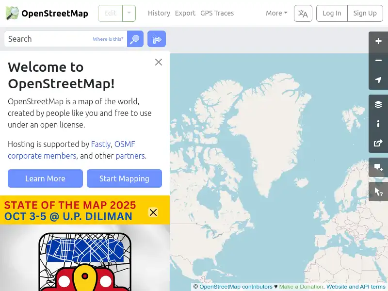
OpenStreetMap provides map data for thousands of websites, mobile apps, and hardware devices. OpenStreetMap is built by a community of mappers that contribute and maintain data about roads, trails, cafés, railway stations, and much more, all over the world.
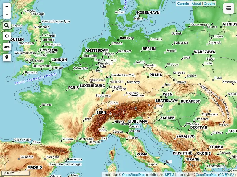
OpenTopoMap is a free topographic map generated from OpenStreetMap and SRTM elevation data. The map style is based on official maps and focuses on good readability through high contrast and balanced symbols.
Radio Garden invites you to explore live radio from around the world. By bringing distant voices close, radio connects people and places. From its very beginning, radio signals have crossed borders. Radio makers and listeners have imagined both connecting with distant cultures, as well as re-connecting with people from ‘home’ from thousands of miles away.
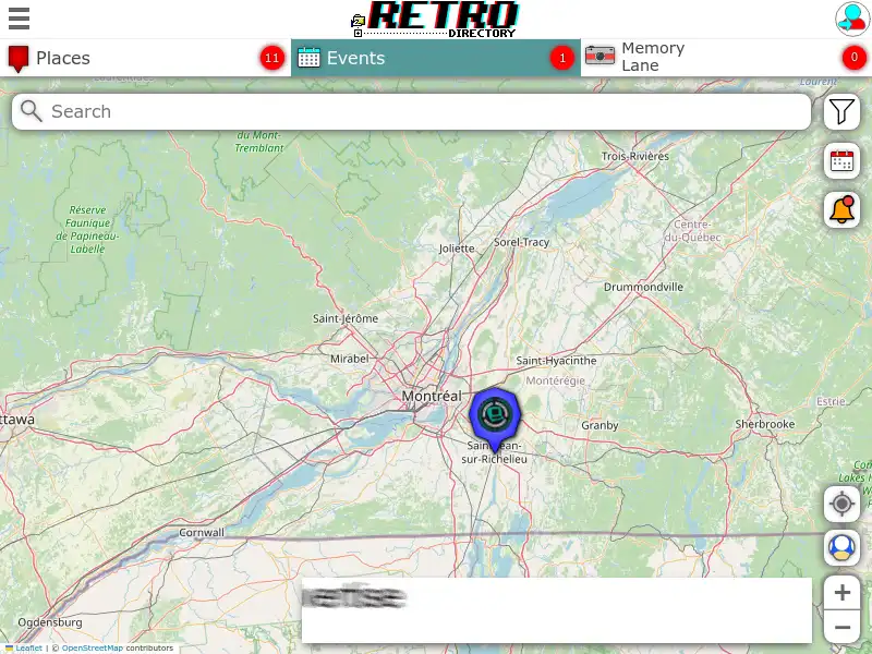
After visiting a few retro related places I realized my only source for finding these places were podcasts and lucky Google finds, so I decided it was time these were all brought together, so, on the 1st June 2022, I purchased this website domain (retro.directory) and built a free directory to help find all these amazing places.
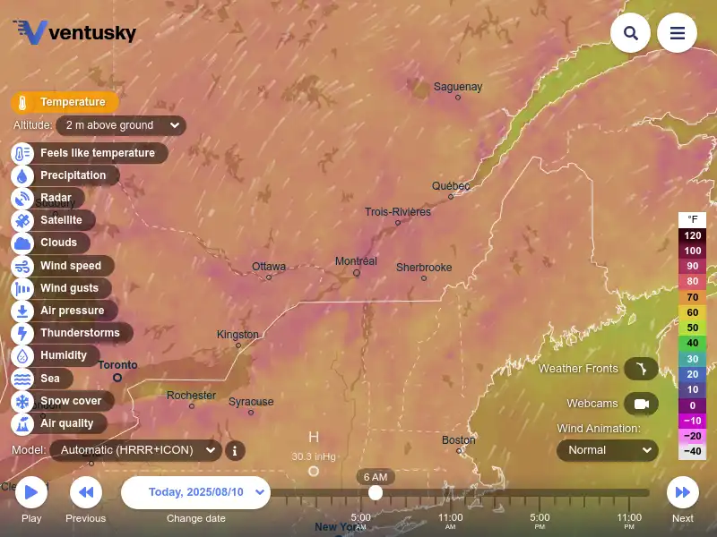
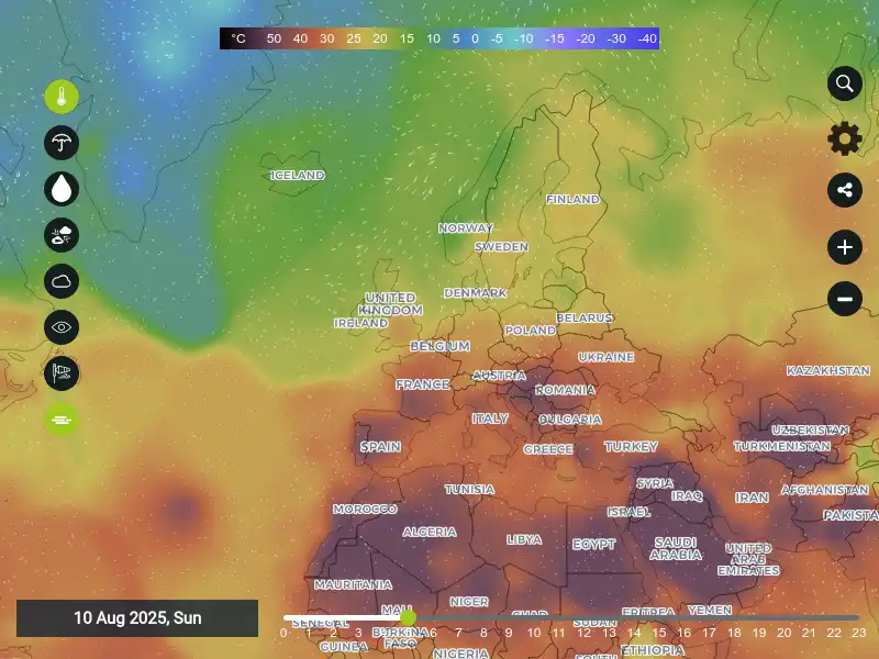
Windy.com is a free web and mobile platform offering a highly visual and interactive way to view detailed weather forecasts, radar, and satellite imagery.
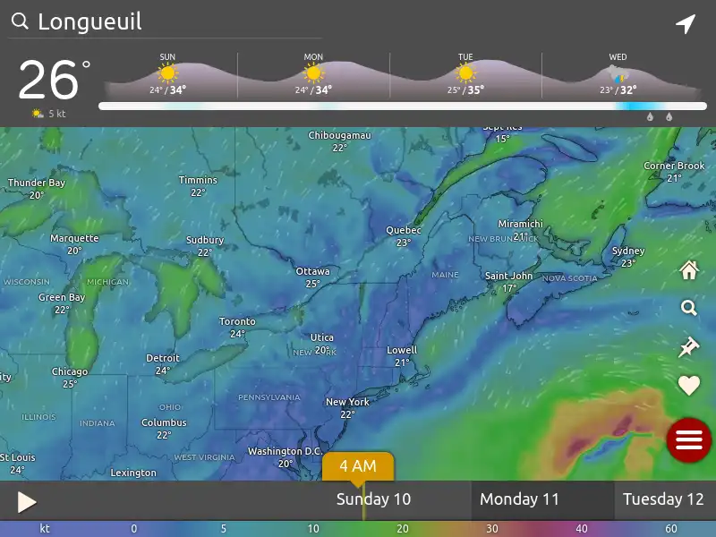
Interactive weather map of World Weather. Whether you are looking for information on the latest ski conditions, marine conditions, holiday weather reports or day to day forecasts for towns and cities, we are continually working hard in order to provide you with accurate and up-to-date weather reports.