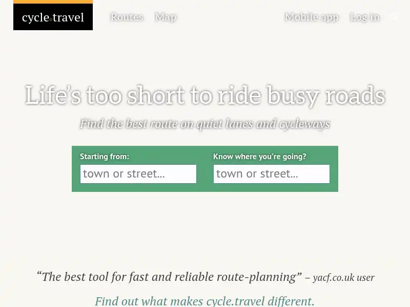
Plan a bike route on traffic-free cycleways and quiet roads. Unique mapping, route photos, and free PDF and GPX downloads.
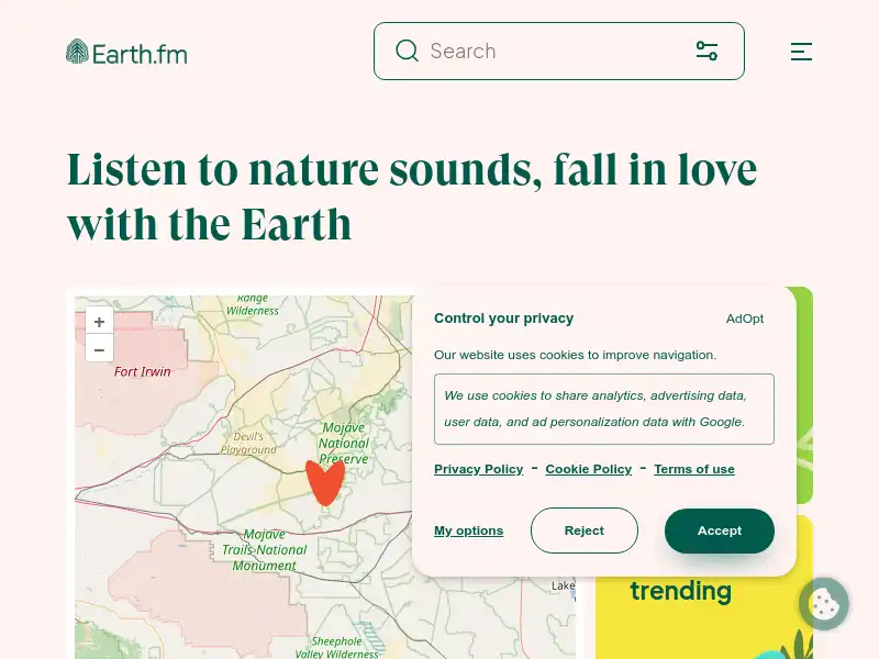
Earth.fm is a completely free streaming service of 1000+ nature sounds from around the world, offering natural soundscapes and guided meditations for people who wish to listen to nature, relax, and become more connected.
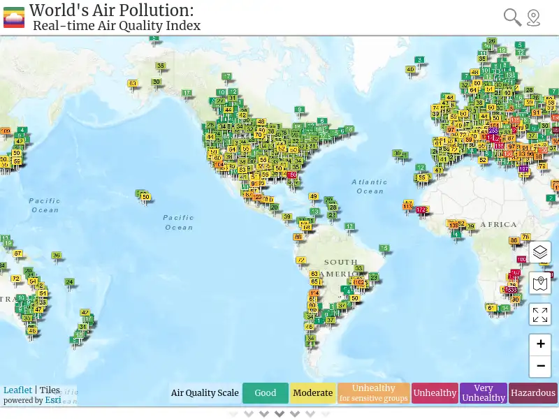
How polluted is the air today? Check out the real-time air pollution map, for more than 80 countries.
Visually explore the past and the present of this dynamic planet from a satellite's perspective. Supports time-critical application areas such as wildfire management, air quality measurements, and weather forecasting. Data is generally available within three hours of observation.
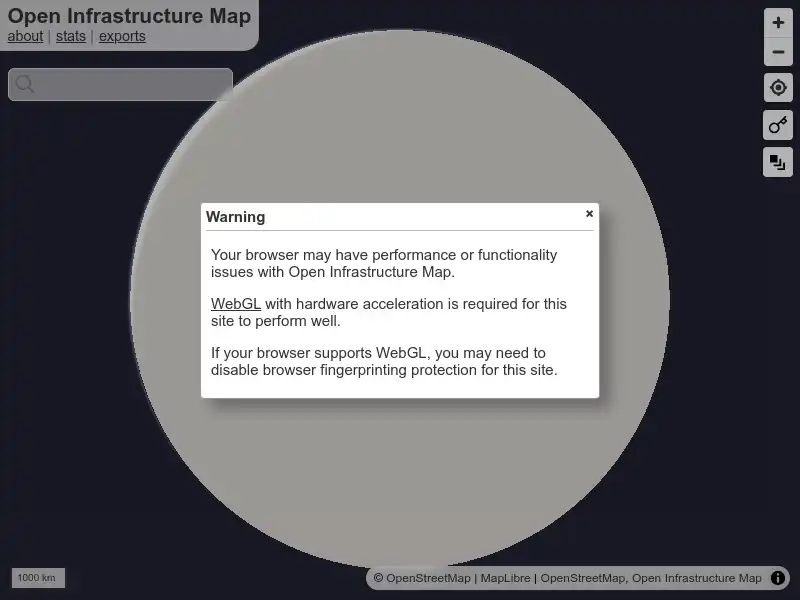
Open Infrastructure Map is a view of the world's infrastructure mapped in the OpenStreetMap database. This data isn't exposed on the default OSM map, so I built Open Infrastructure Map to visualise it.
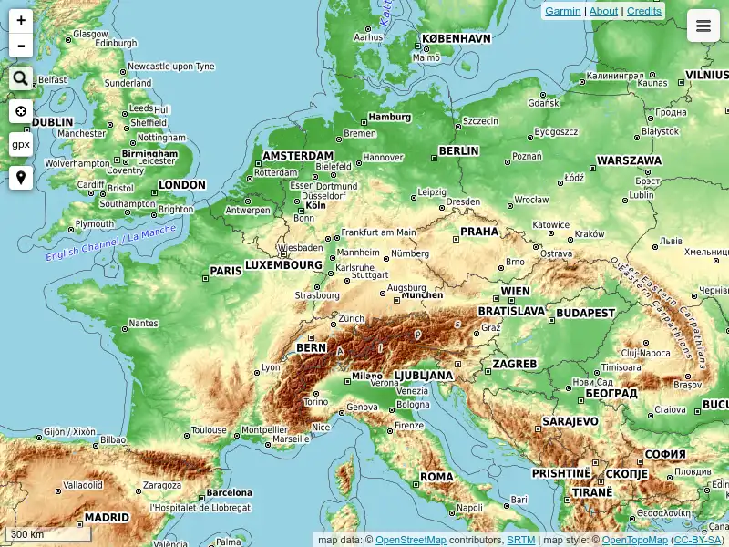
OpenTopoMap is a free topographic map generated from OpenStreetMap and SRTM elevation data. The map style is based on official maps and focuses on good readability through high contrast and balanced symbols.
ÖPNVKarte shows worldwide public transport facilities on a uniform map, so that you can forget about browsing individual operators websites.
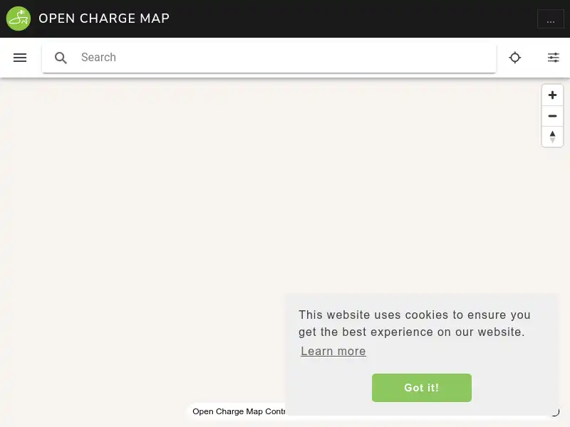
Open Charge Map is a non-commercial, non-profit, service that provide an open database of charging equipment locations for electric vehicles.
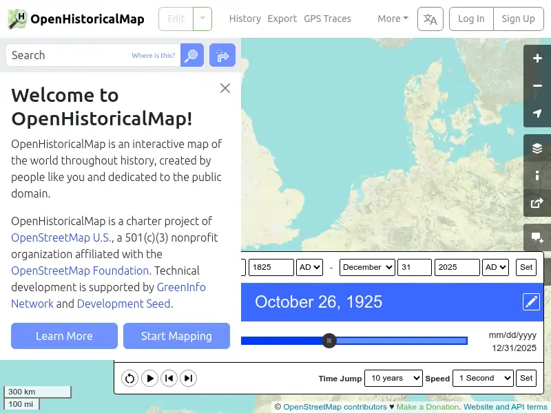
OpenHistoricalMap is an ambitious, community-led project to map changes to natural and human geography throughout the world… throughout the ages.
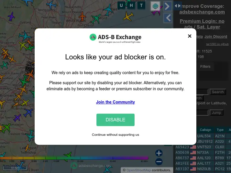
The world’s largest community of unfiltered ADS-B/Mode S/MLAT feeders, providing enthusiasts, researchers, and journalists access to the globe’s most extensive flight data for unprecedented flight monitoring.