Google's corporate culture revealed through internal comics.
Tetratto is a super simple community-oriented website where users can create various communities and share posts in them.
Access hundreds of millions of files, including documents, ebooks, videos, images, music and more that is publicly offered on the internet.
Plan a bike route on traffic-free cycleways and quiet roads. Unique mapping, route photos, and free PDF and GPX downloads.
The Lumen database collects and analyzes legal complaints and requests for removal of online materials, helping Internet users to know their rights and understand the law. These data enable us to study the prevalence of legal threats and let Internet users see the source of content removals.
Private sponsors match the rice grain donations generated within Freerice, triggering a financial payment to WFP. This money goes into the pot of "greatest needs" to support the organization's ongoing emergencies. 100% of all funds generated via Freerice go to the World Food Programme. Freerice does not earn or keep any money it raises.
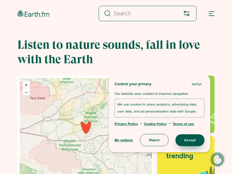
Earth.fm is a completely free streaming service of 1000+ nature sounds from around the world, offering natural soundscapes and guided meditations for people who wish to listen to nature, relax, and become more connected.
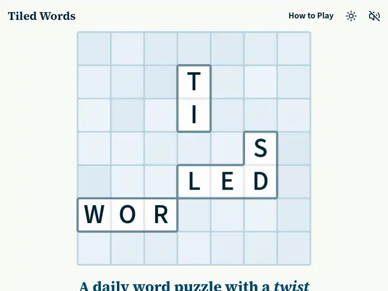
Move and rotate tiles to find clues, connect words, and rebuild a broken crossword.
An online diary of a lady's misadventures in two worlds.
The World Inequality Database (WID) aims to provide open and convenient access to the most extensive available database on the historical evolution of the world distribution of income and wealth, both within countries and between countries.
 Click Here to surf the web!